Longitude and Latitude

Öykü Penceresi Metni
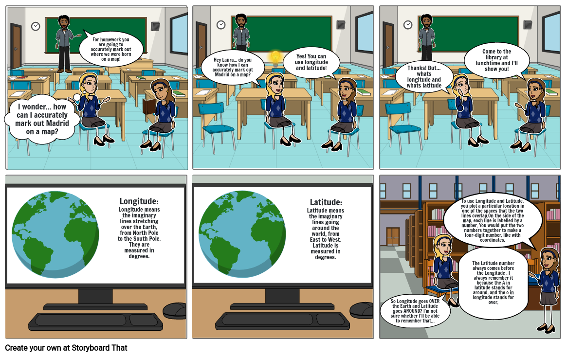
- I wonder... how can I accurately mark out Madrid on a map?
- For homework you are going to accurately mark out where we were born on a map!
- Hey Laura... do you know how I can accurately mark out Madrid on a map?
- Yes! You can use longitude and latitude!
- Thanks! But... whats longitude and whats latitude
- Come to the library at lunchtime and I'll show you!
- Longitude means the imaginary lines stretching over the Earth, from North Pole to the South Pole. They are measured in degrees.
- Longitude:
- Latitude:
- Latitude means the imaginary lines going around the world, from East to West. Latitude is measured in degrees.
- So Longitude goes OVER the Earth and Latitude goes AROUND? I'm not sure whether I'll be able to remember that...
- To use Longitude and Latitude, you plot a particular location in one pf the spaces that the two lines overlap.On the side of the map, each line is labelled by a number. You would put the two numbers together to make a four-digit number, like with coordinates.
- The Latitude number always comes before the Longitude . I always remember it because the A in latitude stands for around, and the o in longitude stands for over.
30 Milyondan Fazla Storyboard Oluşturuldu

