maori

Storyboard Text
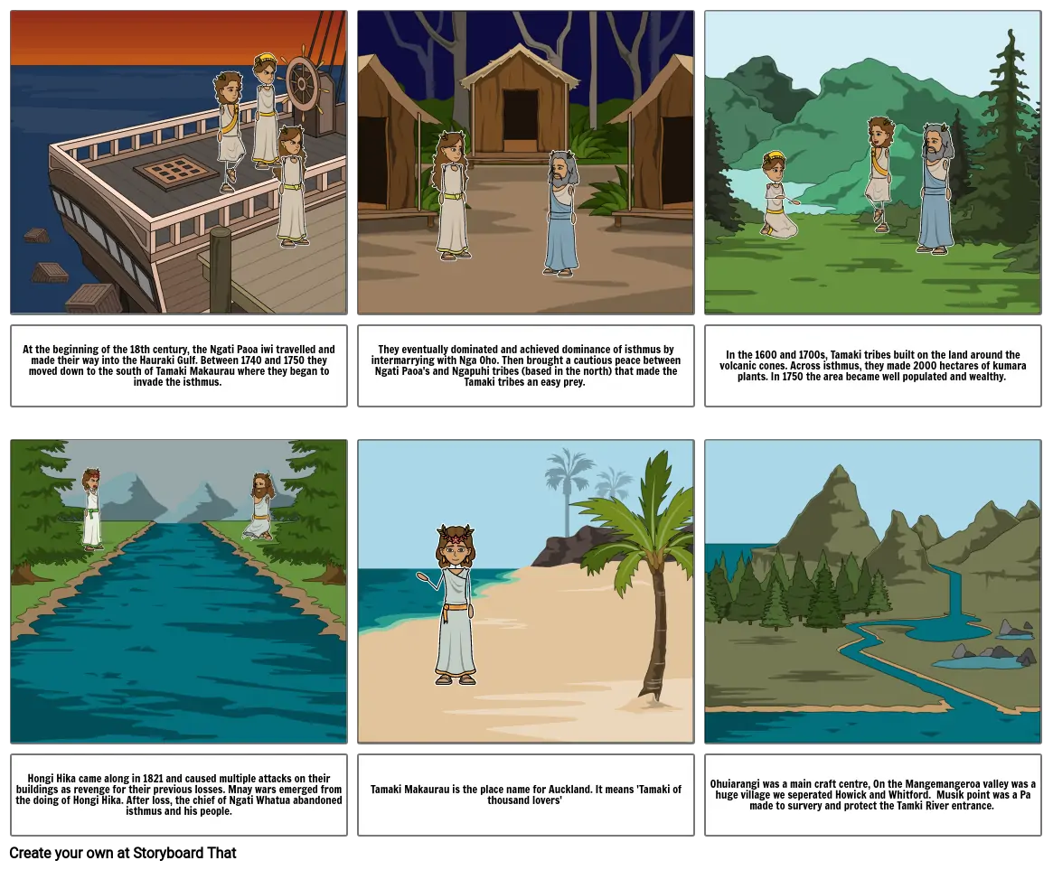
- At the beginning of the 18th century, the Ngati Paoa iwi travelled and made their way into the Hauraki Gulf. Between 1740 and 1750 they moved down to the south of Tamaki Makaurau where they began to invade the isthmus.
- They eventually dominated and achieved dominance of isthmus by intermarrying with Nga Oho. Then brought a cautious peace between Ngati Paoa's and Ngapuhi tribes (based in the north) that made the Tamaki tribes an easy prey.
- In the 1600 and 1700s, Tamaki tribes built on the land around the volcanic cones. Across isthmus, they made 2000 hectares of kumara plants. In 1750 the area became well populated and wealthy.
- Hongi Hika came along in 1821 and caused multiple attacks on their buildings as revenge for their previous losses. Mnay wars emerged from the doing of Hongi Hika. After loss, the chief of Ngati Whatua abandoned isthmus and his people.
- Tamaki Makaurau is the place name for Auckland. It means 'Tamaki of thousand lovers'
- Ohuiarangi was a main craft centre, On the Mangemangeroa valley was a huge village we seperated Howick and Whitford. Musik point was a Pa made to survery and protect the Tamki River entrance.
Over 30 Million Storyboards Created

