Describing the California Intermountain Region

Storyboard Beschrijving
Have students create a spider map that describes the culture and environment of the California Intermountain First Nations!
Storyboard Tekst
- LOCATION
- ENVIRONMENT
- NATURAL RESOURCES (COAST)
- FIRST NATIONS
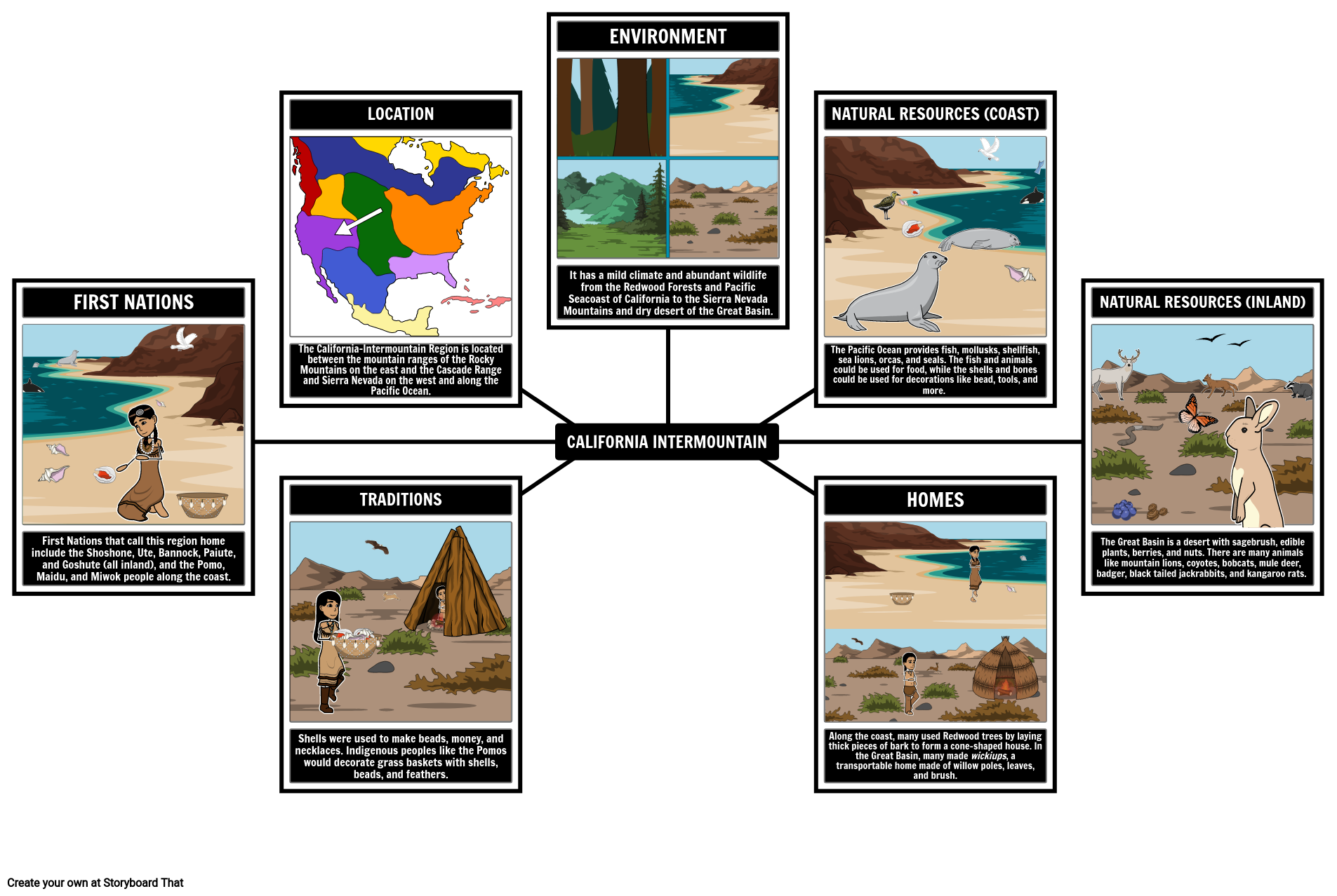
- The California-Intermountain Region is located between the mountain ranges of the Rocky Mountains on the east and the Cascade Range and Sierra Nevada on the west and along the Pacific Ocean.
- It has a mild climate and abundant wildlife from the Redwood Forests and Pacific Seacoast of California to the Sierra Nevada Mountains and dry desert of the Great Basin.
- The Pacific Ocean provides fish, mollusks, shellfish, sea lions, orcas, and seals. The fish and animals could be used for food, while the shells and bones could be used for decorations like bead, tools, and more.
- NATURAL RESOURCES (INLAND)
- First Nations that call this region home include the Shoshone, Ute, Bannock, Paiute, and Goshute (all inland), and the Pomo, Maidu, and Miwok people along the coast.
- TRADITIONS
- CALIFORNIA INTERMOUNTAIN
- HOMES
- The Great Basin is a desert with sagebrush, edible plants, berries, and nuts. There are many animals like mountain lions, coyotes, bobcats, mule deer, badger, black tailed jackrabbits, and kangaroo rats.
- Shells were used to make beads, money, and necklaces. Indigenous peoples like the Pomos would decorate grass baskets with shells, beads, and feathers.
- Along the coast, many used Redwood trees by laying thick pieces of bark to form a cone-shaped house. In the Great Basin, many made wickiups, a transportable home made of willow poles, leaves, and brush.
Meer dan 30 miljoen storyboards gemaakt

