SESAR - why its important

Siužetinės Linijos Tekstas
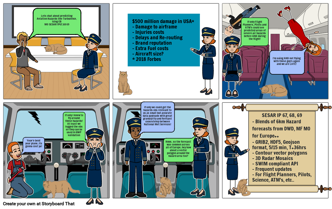
- Lets chat about predicting Aviation Hazards like Turbulence, Icing CBMO SESAR IP67,68 69
- $500 million damage in USA*- Damage to airframe- Injuries costs- Delays and Re-routing- Brand reputation- Extra Fuel costs- Aircraft size?* 2018 Forbes
- If only Flight Planners, Pilots and ATM's could see predicted areas of severe air hazards before AND during the flight!
- I'm suing AND not flying with these guy's again and we are LATE!
- Youv'e bent your plane, its gonna cost ya!
- If only I knew to fly around these hazards! At least we logged the obs so they can be used in NWP validation
- If only we could get the hazards obs relevant to us as small but accurate data payloads with great granularity and forecast consistency between National Met Services!
- Hmm.. so the forecast was common across all of Europe, hey how about a vector polygon around the hazard area too?
- SESAR IP 67, 68, 69- Blends of 6km Hazard forecasts from DWD, MF MO for Europe++- GRIB2, HDF5, Geojson format, 5/15 min, T+36hrs- Contour vector polygons- 3D Radar Mosaics- SWIM compliant API- Frequent updates- For Flight Planners, Pilots, Science, ATM's, etc..
Sukurta daugiau nei 30 milijonų siužetinių lentelių

