Understanding Maps

Siužetinės Linijos Tekstas
- Hello Siddharth
- Hello Akash
- Sure
- I need you to help me make a map. I want to know what all to add.
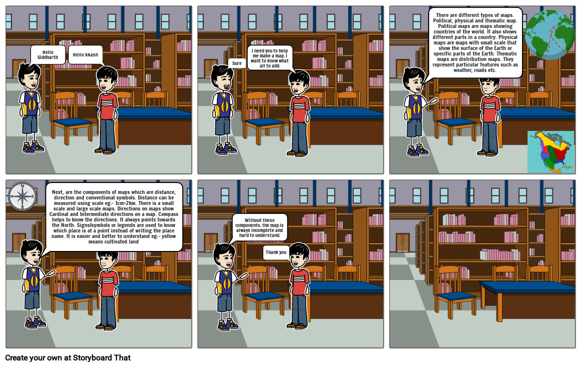
- There are different types of maps. Political, physical and thematic map. Political maps are maps showing countries of the world. It also shows different parts in a country. Physical maps are maps with small scale that show the surface of the Earth or specific parts of the Earth. Thematic maps are distribution maps. They represent particular features such as weather, roads etc.
- Next, are the components of maps which are distance, direction and conventional symbols. Distance can be measured using scale eg:- 1cm=2km. There is a small scale and large scale maps. Directions on maps show Cardinal and Intermediate directions on a map. Compass helps to know the directions. It always points towards the North. Signs/symbols or legends are used to know which place is at a point instead of writing the place name. It is easier and better to understand eg:- yellow means cultivated land
- Without these components, the map is always incomplete and hard to understand.
- Thank you
Sukurta daugiau nei 30 milijonų siužetinių lentelių

