Dawn Wright

Siužetinės Linijos Tekstas
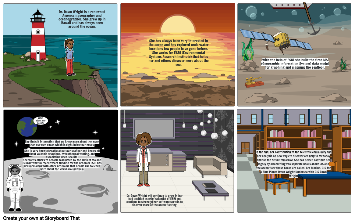
- Dr. Dawn Wright is a renowned American geographer and oceanographer. She grew up in Hawaii and has always been around the ocean.
- She has always been very interested in the ocean and has explored underwater locations few people have gone before. She works for ESRI (Environmental Systems Research Institute) that helps her and others discover more about the sea.
- With the help of ESRI she built the first GIS (Geographic Information System) data model for graphing and mapping the seafloor.
- She finds it interesting that we know more about the moon than our own ocean which is right below our noses. She is very knowledgeable about our seafloor and knows all about volcanic eruptions, hydrothermal venting, and associating deep-sea life. She wants others to become fascinated by the subject too and is upset that in recent years funding for the program ESRI has declined along with other programs that people use to learn more about the world around them.
- What about our ocean?
- Dr. Dawn Wright will continue to grow in her lead position as chief scientist of ESRI and contiene to strenegd her software serveis to discover more of the ocean flooring.
- In the end, her contribution to the scientific community and her analysis on new ways to discover are helpful for today and for the future tomorrow. She has helped continue her legacy by also writing two separate books about GIS and the ocean floor these books are called: Arc Marine: GIS for a Blue Planet Dawn Wright Undersea with GIS Dawn Wright
Sukurta daugiau nei 30 milijonų siužetinių lentelių

