Lesson Plan Overview
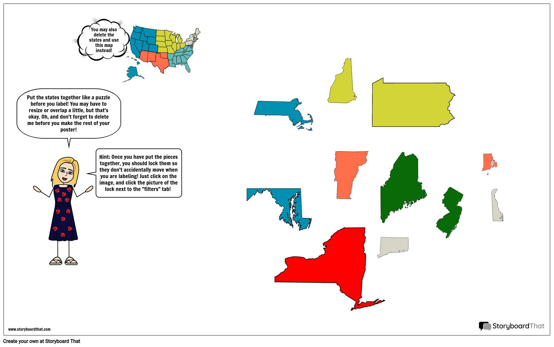
It is important for students to know the locations of the states on a map, and the capital cities of each state. Filling out a blank map or creating a map from scratch helps students retain information in a more concrete way. For this activity, students will create a poster showing the Northeast states, capitals, and the major bodies of water. Students will also add illustrations that apply to the Northeast. Students may use a map of the United States, or use the individual states template provided to create their own map.
Template and Class Instructions
(These instructions are completely customizable. After clicking "Copy Activity", update the instructions on the Edit Tab of the assignment.)
Due Date:
Objective: Create a map of the Northeast region, including the state names, capital cities, and illustrations.
Student Instructions
- Click “Start Assignment”.
- Fill in the blank map of the Northeast, including states and capitals OR create a map of your own using the individual states provided. Use the "search" bar to find regions and states.
- Add illustrations throughout the map as desired to make it more colorful and interesting..
Lesson Plan Reference
How to Teach Map Interpretation and Navigation Skills
Introduction to Map Interpretation and Navigation
Begin the lesson by introducing the concepts of map interpretation and navigation. Explain why these skills are essential and how they apply to real-life situations, such as traveling, hiking, or exploring the Northeast region. Provide an overview of the Northeast Region Map and its key features.
Map Key and Symbols
Teach students about map keys, legends, and the symbols commonly used in maps. Discuss how these symbols represent geographical features, landmarks, and other elements. Provide examples and allow students to practice identifying symbols and interpreting map keys.
Scale and Directions
Explain the concept of map scale and how it represents the relationship between distances on a map and actual distances on the ground. Discuss compass directions (North, South, East, West) and how they are represented on maps. Engage students in activities that involve measuring distances and finding directions on the Northeast Region Map.
Navigation Challenge
Organize a navigation challenge activity where students work in pairs or small groups. Provide a set of instructions, destinations, and landmarks on the Northeast Region Map. Challenge students to navigate a specific route using the map and given directions, emphasizing the use of map interpretation skills. Conclude the lesson by discussing the challenges, successes, and areas for improvement in map interpretation and navigation. Throughout the lesson, encourage students to apply their map interpretation and navigation skills to real-world scenarios, fostering their ability to use maps for practical purposes in the Northeast region and beyond.
Frequently Asked Questions about Northeast Region Map
How can storyboards and worksheets effectively help students understand the geographical boundaries of the Northeast Region and its neighboring states on a map?
Storyboards and worksheets can visually represent the Northeast Region's geographical boundaries and neighboring states by using clear, labeled maps. Students can explore and practice identifying the region's shape and its surrounding states through interactive exercises like labeling state borders, coloring the region, and comparing it to other U.S. regions. These visual aids reinforce geographical knowledge, making it more accessible and memorable for students.
What interactive activities can be incorporated into storyboards and worksheets to engage students in exploring the diverse geographical features of the Northeast Region, such as mountain ranges, rivers, and coastlines?
To engage students in discovering the region's geographical features, incorporate interactive activities like drawing and labeling mountain ranges, rivers, and coastlines on maps. Additionally, you can use hands-on activities, such as creating physical relief maps, or digital tools for virtual exploration of the terrain. Field trips to local geographical features or interactive simulations can provide real-world context and enhance students' understanding.
Are there any real-life applications of knowledge about the Northeast Region's geography that can be incorporated into storyboards and worksheets, emphasizing practical relevance and regional significance?
Storyboards and worksheets can integrate real-life applications by prompting students to explore practical scenarios. For instance, students can plan road trips, taking into account the region's geography, including route selection, timing, and notable stops. They can also study the region's climate and geography to understand its impact on agriculture, urban planning, and environmental concerns. Such applications connect geographical knowledge to real-world decisions, highlighting the practical relevance and regional significance of the Northeast Region's geography.
More Storyboard That Activities
US Regions: Northeast
Testimonials

“By using the product, they were so excited and they learned so much...”–K-5 Librarian and Instructinal Technology Teacher

“I'm doing a Napoleon timeline and I'm having [students] determine whether or not Napoleon was a good guy or a bad guy or somewhere in between.”–History and Special Ed Teacher

“Students get to be creative with Storyboard That and there's so many visuals for them to pick from... It makes it really accessible for all students in the class.”–Third Grade Teacher
© 2025 - Clever Prototypes, LLC - All rights reserved.
StoryboardThat is a trademark of Clever Prototypes, LLC, and Registered in U.S. Patent and Trademark Office


