Activity Overview
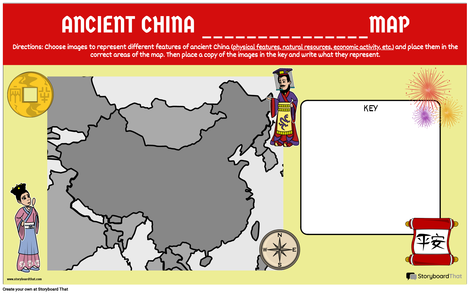
After students learn about the geography, natural resources and/or economy of ancient China, it can be helpful for them to see everything together on one map. In this activity, students will create a map that displays physical features, where natural resources are found, and what economies are found in different parts of the region. Students will also make a key to reference and add descriptions to explain the images they've chosen.
Template and Class Instructions
(These instructions are completely customizable. After clicking "Copy Activity", update the instructions on the Edit Tab of the assignment.)
Due Date:
Objective: Create an economic / natural resources or physical features map of China
Student Instructions:
- Add different images that represent the physical features, natural resources or jobs from the region.
- Add the images to the key on the side with words describing what they are.
Requirements: 5-7 images that represent either physical features, natural resources or economic activity placed in accurate locations on the map. Place the images with definitions in the key.
Lesson Plan Reference
- CCSS: RH.9-10.3 - Analyze in detail a series of events described in a text; determine whether earlier events caused later ones or simply preceded them.
- ELA-LITERACY.CCRA.R.1 - Read closely to determine what the text says explicitly and to make logical inferences from it; cite specific textual evidence when writing or speaking to support conclusions drawn from the text.
- ELA-LITERACY.CCRA.R.9 - Analyze how two or more texts address similar themes or topics in order to build knowledge or to compare the approaches the authors take.
- ELA-LITERACY.WHST.6-8.2.B - Develop the topic with relevant, well-chosen facts, definitions, concrete details, quotations, or other information and examples.
How To Use a Map to Inspire Learning
Teach Students About Elements of a Map
Ensure that students understand all of the information that is found on a map, paying special attention to the directional image as well as the key.
Allow Students to Add Images
The heart of the map will be the images, so allow students to create pictures that represent their learning. They can add elements of the geography of the region, the natural resources, and any indication of the economy.
Create a Comprehensive Key
Students may need help creating a key that offers insight into the elements on the map. The key will further explain the pictures that they have used, and needs to be extremely accurate.
Frequently Asked Questions about Ancient China: Make a Map
Can a map help students to better understand information?
Yes, a map offers students insight into the geography of the region, which can inform them about natural resources, the way a society settles, and how different parts of a country might interact with each other.
How does geography relate to the economy of a region?
The relation between geography and economy are very important. If a region is mountainous, for instance, it will be hard for them to grow food. And if a region contains a life-giving river, many people will settle near its banks.
Why is studying geography important?
Geography informs the choices of the people on the land where they live, so if you understand the geography of the region, you can better understand the choices of the people who live there.
More Storyboard That Activities
Ancient China


Ancient China: Make a Map!
Testimonials
Introductory School Offer
ONLY$500
- 1 School
- 5 Teachers for One Year
- 1 Hour of Virtual PD
30 Day Money Back Guarantee • New Customers Only • Full Price After Introductory Offer • Access is for 1 Calendar Year
© 2025 - Clever Prototypes, LLC - All rights reserved.
StoryboardThat is a trademark of Clever Prototypes, LLC, and Registered in U.S. Patent and Trademark Office


