aphug

Testo Storyboard
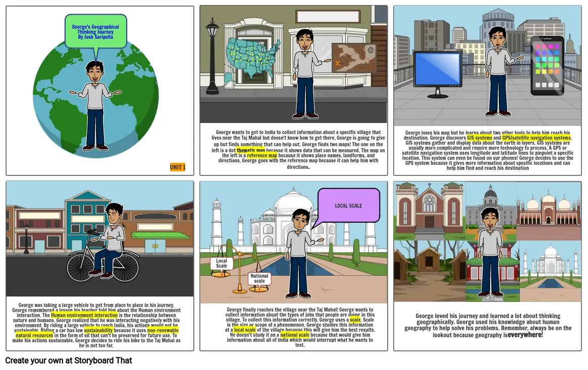
- George's Geographical Thinking JourneyBy Josh Saripella
- UNIT 1
- George wants to get to India to collect information about a specific village that lives near the Taj Mahal but doesn't know how to get there. George is going to give up but finds something that can help out. George finds two maps! The one on the left is a dot thematic map because it shows data that can be measured. The map on the left is a reference map because it shows place names, landforms, and directions. George goes with the reference map because it can help him with directions.
- George loses his map but he learns about two other tools to help him reach his destination. George discovers GIS systems and GPS/satellite navigation systems. GIS systems gather and display data about the earth in layers. GIS systems are usually more complicated and require more technology to process. A GPS or satellite navigation system uses longitude and latitude lines to pinpoint a specific location. This system can even be found on our phones! George decides to use the GPS system because it gives more information about specific locations and can help him find and reach his destination
- George was taking a large vehicle to get from place to place in his journey. George remembered a lesson his teacher told him about the Human environment interaction. The Human environment interaction is the relationship between nature and humans. George realized that he was interacting negatively with his environment. By riding a large vehicle to reach India, his actions would not be sustainable. Riding a car has low sustainability because it uses non-renewable natural resources in the form of oil that can't be preserved for future use. To make his actions sustainable, George decides to ride his bike to the Taj Mahal as he is not too far.
- Local Scale
- George finally reaches the village near the Taj Mahal! George wants to collect information about the types of jobs that people are doing in this village. To collect this information correctly, George uses a scale. Scale is the size or scope of a phenomenon. George studies this information at a local scale of the village because this will give him the best results. He doesn't study it on a national scale because that would give him information about all of India which would interrupt what he wants to test.
- National scale
- LOCAL SCALE
- George loved his journey and learned a lot about thinking geographically. George used his knowledge about human geography to help solve his problems. Remember, always be on the lookout because geography is everywhere!
Oltre 30 milioni di storyboard creati

