The Technological and Scientific Advances in Navigation

Texte du Storyboard
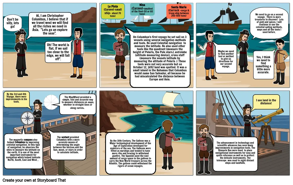
- Don't be silly, lets go!
- Hi, I am Christopher Columbus, I believe that if we travel west we will find all the riches we need in Asia. "Lets go an explore the seas".
- Oh! The world is flat. If we sail too close to the edge, we will fall off".
- La Pinta(Caravel-small ship- about 70 tons)
- Nina(Caravel-smallest of the fleet-50 or 60 tons)
- Santa Maria(Carrack -cargo & troop ship between 200-600 tons)
- Maybe we need to find another tool or method to give us directions for our second voyage.
- We need to go on a second voyage. There is more treasures to discover! Lots of gold and spices. I will continue to use the celestial sailing methods, maps and all the tools I used before.
- Yes, I think we need to find something a little more accurate.
- By the 3rd and 4th Voyage, there were improvements in his tools.
- The magnetic compass also helped Columbus by improving celestial navigation. In this type of navigation, he observes the skies to measure his latitude on the earth. It is one of the most important instrument for navigation which helped indicate North, South, East and West. .
- The sextant provided Columbus with a more accurate means of determining the angle between the horizon and the Sun, moon, or stars in order to calculate latitude.
- The MapWheel provided a simple, fast and accurate way to measure distances on maps, whether in straight lines or along curves.
- By the 16th Century, The Galleon was a Major technological development of the Age of Exploration developed for explorers of the sea. The Galleons were fitted as warships and tended to have more ribs and bracing to withstand gunfire. The Spanish used the vast amount of cargo space in the galleon to carry the New World treasure across the Atlantic. The galleon could withstand the rigors of ocean voyages.
- On Columbus's first voyage he set sail on 3 vessels using several navigation methods and tools. He used Celestial navigation to measure the latitude. He also used other tools like the quadrant (measure the height of Polaris, the Pole stars), astrolabe (altitude measuring device), cross staff (measure the vessels latitude by measuring the altitude of Polaris ). These tools were not very accurate but on October 12, 1492 land was spotted. It was a small island in the Bahamas that Columbus would name San Salvador, all because he had miscalculated the distance between Europe and Asia.
- The advancement in technology and scientific advances has seen many improvements in navigation tools. The Binnacle Box were used to place navigational instruments for easy and quick reference as well as to protect the delicate instruments. The telescope was used to sight distant ships and landfalls.
- I see land in the distance!
Plus de 30 millions de storyboards créés

