History 2

Kuvakäsikirjoitus Teksti
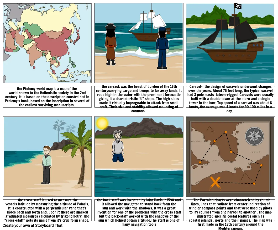
- the Ptolemy world map is a map of the world known to the Hellenistic society in the 2nd century. It is based on the description constrained in Ptolemy’s book, based on the inscription in several of the earliest surviving manuscripts.
- the carrack was the beast of burden of the 16th centurycarrying cargo and troops to far away lands. It rode high in the water with the prominent forecastle giving it a characteristic “U” shape. The high sides made it virtually impregnable to attack from small craft. Their size and stability allowed mounting of cannons.
- Caravel- the design of caravels underwent changes over the years. About 75 feet long, the typical caravel had 3 pole masts lateen-rigged. Caravels were usually built with a double tower at the stern and a single tower in the bow. Top speed of a caravel was about 8 knots, the average was 4 knots for 90-100 miles in a day.
- the cross staff is used to measure the vessels latitude by measuring the altitude of Polaris. It is constructed with a perpendicular vane that’s slides back and forth and, upon it there are marked graduated measures calculated by trigonometry. The “cross-staff” gets its name from it’s cruciform shape.
- the back staff was invented by John Davis in1590 and it allowed the navigator to stand back from the sun and work with the shadows. It was a great invention for one of the problems with the cross staff but the back-staff worked with the shadows of the sun which helped obtain altitude.The staff is one of many navigation tools
- Portolan charts- the portolan charts were c The Portolan charts were characteized by rhumb lines, lines that radiate from center indirection of wind or compass points and that were used by pilots to lay courses from one harbor to another . The map illustrated specific costal features such as coastal islands , ports and their names. The map was first made in the 13th century around the Mediterranean.
Yli 30 miljoonaa kuvakäsikirjoitusta luotu

