Maori Studies

Texto del Guión Gráfico
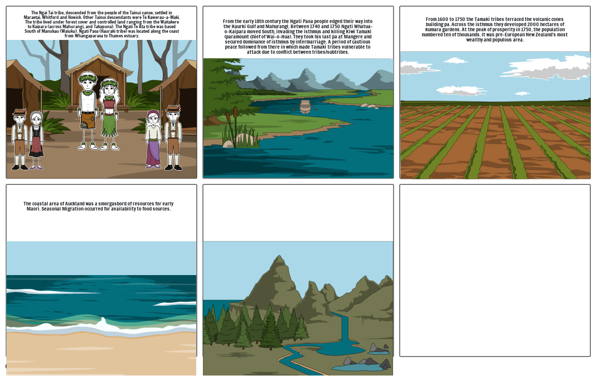
- The Ngai Tai tribe, descended from the people of the Tainui canoe, settled in Maraetai, Whitford and Howick. Other Tainui descendants were Te Kawerau-a-Maki. The tribe lived under forest cover and controlled land ranging from the Waitakere to Kaipara (across Mahurangi, and Takapuna). The Ngati Te Ata tribe was based South of Manukau (Waiuku). Ngati Paoa (Hauraki tribe) was located along the coast from Whangaparaoa to Thames estuary.
- From the early 18th century the Ngati Paoa people edged their way into the Haurki Gulf and Mahurangi. Between 1740 and 1750 Ngati Whatua-o-Kaipara moved South, invading the isthmus and killing Kiwi Tamaki (paramount chief of Wai-o-Hua). They took his last pa at Mangere and secured dominance of isthmus by intermarriage. A period of cautious peace followed from there in which made Tamaki tribes vulnerable to attack due to conflict between tribes/subtribes.
- From 1600 to 1750 the Tamaki tribes terraced the volcanic cones building pa. Across the isthmus they developed 2000 hectares of kumara gardens. At the peak of prosperity in 1750, the population numbered ten of thousands. It was pre-European New Zealand's most wealthy and populous area.
- The coastal area of Auckland was a smorgasbord of resources for early Maori. Seasonal Migration occurred for availability to food sources.
Más de 30 millones de guiones gráficos creados

