Southeast Geography

Storyboard Beschreibung
Create an informative poster detailing the geography of the Southeast region
Storyboard-Text
- Image Attributions:4366062 (https://www.pexels.com/photo/aerial-view-of-city-buildings-near-body-of-water-4366062/) - Antonio Cuellar - License: Free To Use / No Attribution Required / See https://www.pexels.com/license/ for what is not allowed
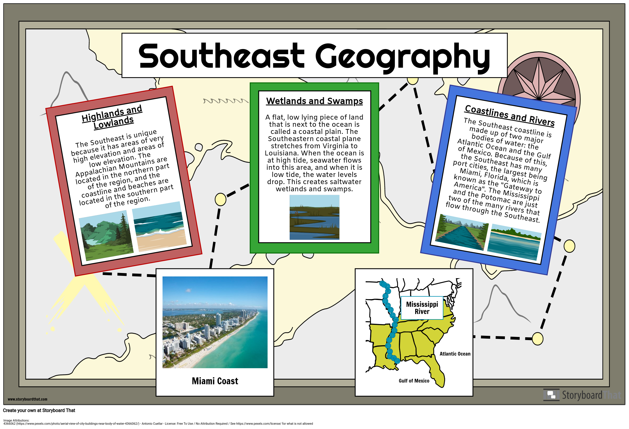
- Highlands and LowlandsThe Southeast is unique because it has areas of very high elevation and areas of low elevation. The Appalachian Mountains are located in the northern part of the region, and the coastline and beaches are located in the southern part of the region.
- Southeast Geography
- Miami Coast
- Wetlands and SwampsA flat, low lying piece of land that is next to the ocean is called a coastal plain. The Southeastern coastal plane stretches from Virginia to Louisiana. When the ocean is at high tide, seawater flows into this area, and when it is low tide, the water levels drop. This creates saltwater wetlands and swamps.
- Gulf of Mexico
- Mississippi River
- Atlantic Ocean
- Coastlines and RiversThe Southeast coastline is made up of two major bodies of water: the Atlantic Ocean and the Gulf of Mexico. Because of this, the Southeast has many port cities, the largest being Miami, Florida, which is known as the "Gateway to America". The Mississippi and the Potomac are just two of the many rivers that flow through the Southeast.
Bildzuordnungen
- 4366062 - Antonio Cuellar - (Lizenz Free To Use / No Attribution Required / See https://www.pexels.com/license/ for what is not allowed )
Über 30 Millionen erstellte Storyboards

